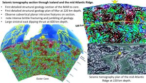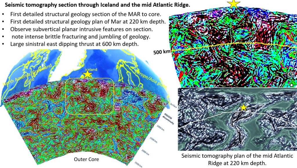
Figure 1 – above. Shows the 220 km depth seismic tomographic plan and section of the Mid Atlantic Ridge (MAR) through Iceland.
Notes
- First detailed structural geology section of the MAR to core.
- First detailed structural geology plan of MAR at 220 km depth.
- Observe subvertical planar intrusive features on section. These are related to the opening of the MAR.
- Large sinistral east dipping thrust at 600 km depth. These occur worldwide and are probably the cause of the 450-650 km depth seismic discontinuity?
- There is intense brittle fracturing and juxtaposition of geology elements.
Conclusions
- This is nothing like the gentle gradual opening of the MAR and plate tectonics system as currently postulated. The whole concept of Plate Tectonics needs revision.
- Currently Plate Tectonics is based on mathematical modelling. This is the first time the structures have been directly observed and they are quite different to how they should appear.
Paradigm changes.
- The lithosphere/mantle is brittle right to the Outer Core.
- The movement and collision of the plates is not gradual and convectional but more like the brittle movement of a glacier.
- Thus the geological features resemble those of a glacier – brittle and jumbled.
- This result is entirely consistent with those I’ve observed worldwide.
- It is also consistent with what we see on the other rocky planets.
Go to geotreks.com.au and navigate using Archives to see these consistent paradigm changing results for yourselves.
Cheers and happy researching
Bob Watchorn

