This Part 5 is a repeat of much of my research which verifies the structural geology obtained by the EagleEye method. There are links to webinars and other papers in the post and it gives a good history of my research.
The next figure shows the Webinar contents.

Commencement of my detailed exploration of Earth in 1998.
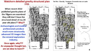
These detailed gravity plans were done in 1998 by myself using the WMC gravity database on ER mapper software. Even, 25 years later, most geophysicists and geologist do not use gravity plans showing faults and other geology of this detail, why?
Archaeologists and medical professionals produce much more structurally advanced 3-D images than the mineral exploration industry, why? Are we slow to learn, are we not looking outside our ‘little silos’ for anything that might help improve our imaging of geophysical data?
See the original 2013 Webinar at https://www.youtube.com/watch?v=l0HdKnHomeA
Does EagleEye work?
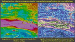
Comparing the left-side geophysical magnetic data plan with the right-side EagleEye enhanced magnetic plans shows that a tremendous increase in detail is obtained. This increase in detail is critical in interpreting the magnetic plans. It is this type of structural ultra-detail that has enabled me to explore the earth using structural geology right down to the core.
This plan was obtained by spectrum sliding and I will be very surprised if there are similar detailed structural geology plans of this area in existence (except for better ones by Mathieu Landry with whom I correspond and who introduced me to this method).
Like me Mathieu has encountered opposition from the geophysical fraternity. He has set up a consultancy Explospectiv to help the geoscience industry explore more effectively using his technique. I would have thought exploration companies would kill for this detailed information of their projects!!?? https://www.linkedin.com/in/landrymathieu/?originalSubdomain=ca
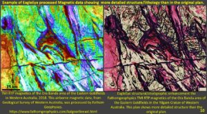
The right-side plan is the EagleEye enhancement of a very good magnetic plan of the Ora Banda area NW of Kalgoorlie in the Yilgarn. The structural geology is much clearer and useable for exploration targeting. Are the structures real?
Comparing the geology plan of the Ora Banda area shows that most of the major structures on my plan are fact. If they are real on this plan then they should be real on the rest of my EagleEye plans because they were derived by the same EagleEye system. View a more detailed paper on the Ora Banda enhancement at https://www.geotreks.com.au/work/giant-ring-structures/verification-eagleeye-with-falcon-geophysics-exploration-targeting/
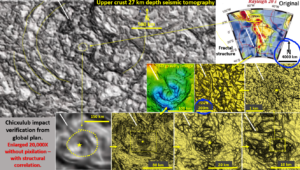
This is my favourite piece of structural enhancement! I presented it originally in my Webinar on South America –
The top right hand image shows the seismic tomography at a 4000 km scale with no structures showing.
By a series of iterations of the Chixculub area we go from that 4000 km scale right down to 200-meter scale at the centre of the Chixculub impact structure. The 3-D gravity image of the centre of the Chixculub crater shows that the images obtained are geologically sound.
The detail of each image improves as you magnify the image. This process has enabled me to enlarge the original seismic tomography plan that shows no structure 42,000 times with the final detailed image still showing the broad colour ‘structures’ seen in the original image.
This is the sort of thing that EagleEye process can do with any geophysical, Landsat, geographical, geochemical image. Is this useful?? Do you think this detailed geological information would help in finding the next big deposit?
This should be very useful for geological mapping and expiration targeting.
See the original, more detailed, paper at https://www.geotreks.com.au/work/giant-ring-structures/watchorns-eagleeye-structural-recognition-and-enhancement-system-chicxulub-impact-structure/ .
Watch the original webinar on South America at ;
https://www.ausimm.com/videos/community-event/south-west-wa-branchgeoscience-society—digital-tech-talk—south-american-structural-geology/ . Chixculub is 20 minutes from the start.
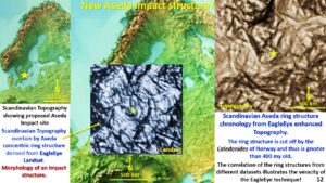
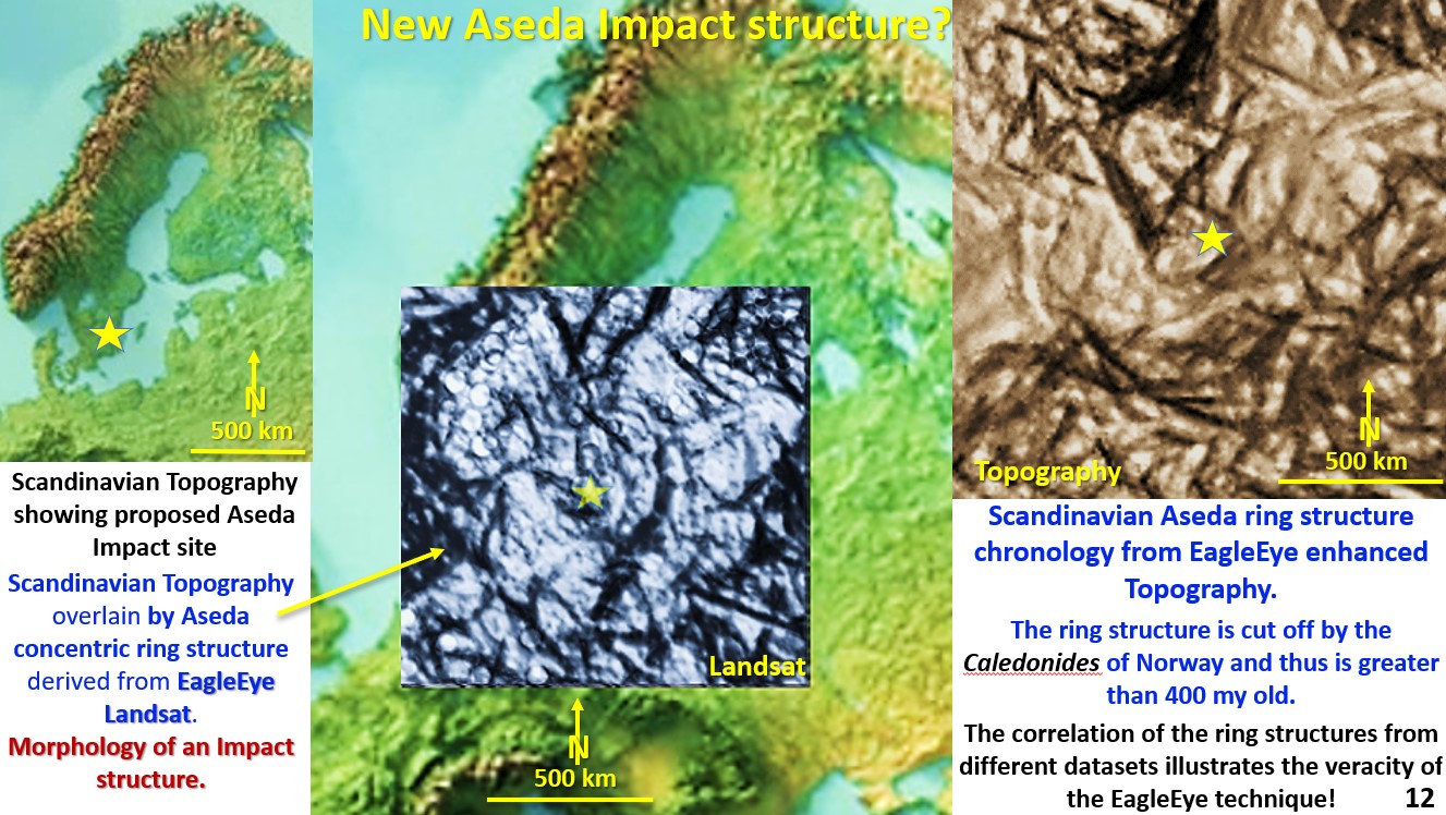
When I was researching and enhancing data for the Europe webinar, I found a large concentric ring structure situated at the SE tip of Sweden. This is the central inset in figure 12 above.
The ring structure shown on the top right-hand side is from the exaggerated topography shown on the left-hand side and central image.
Both images are from different data sets and from different times in research and yet both have the same morphology and size which illustrates the veracity of the EagleEye technique on Landsat and tomography.
If anyone wants to go and make a name for themselves and find a surface impact structure in Europe, I would be heading for the big yellow star in the middle of the Landsat image.
However, the ring structure is cut off by the Caledonides of Norway which is about 400 million years old and thus it may not lie on the surface? The Webinar on European evolution in which this is described is viewed at https://www.ausimm.com/videos/community-event/south-west-wa-branchgeoscience-society—europes-geology-and-mineralisation/ 15 minutes in.
The next sections will be all new data! Hold onto your hats 🙂 .
Cheers
Bob

