Introduction
See my geotreks post https://www.geotreks.com.au/work/projects-studies/earths-evolution-updated-perspective-surface-to-core/ for the abstract (part 1) to this series of papers.
The AusIMM webinar I did on this new research can be seen on the AusIMM website or on https://www.youtube.com/watch?v=snu8En442Js
In the next series of 12 posts on my website Geotreks.com.au you will explore Earth Evolution to the core-mantle boundary at 2900 km.
I have been able to explore to this depth using seismic tomography geophysical plans that have been examined using my EagleEye process.
In this webinar I will challenge the ‘sacred cow’ of plate tectonics. I can do this because EagleEye can obtain structural geology from these seismic tomography plans and sections.

I have been giving these geological webinars under the auspices of the AusIMM since 2013 and this webinar topic followed a discussion with a well-known structural geologist who informed me that ‘if my structures are real then plate tectonics is not’! He then proceeded, as have many others, to state, that my structures cannot be real because all the scientific evidence so far has said there is a mobile mantle and no solid fault type structures occur in the mantle zone, and – – – Plate Tectonics is unassailable!! Now that was a challenge I could not resist 😊.

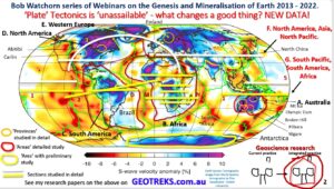
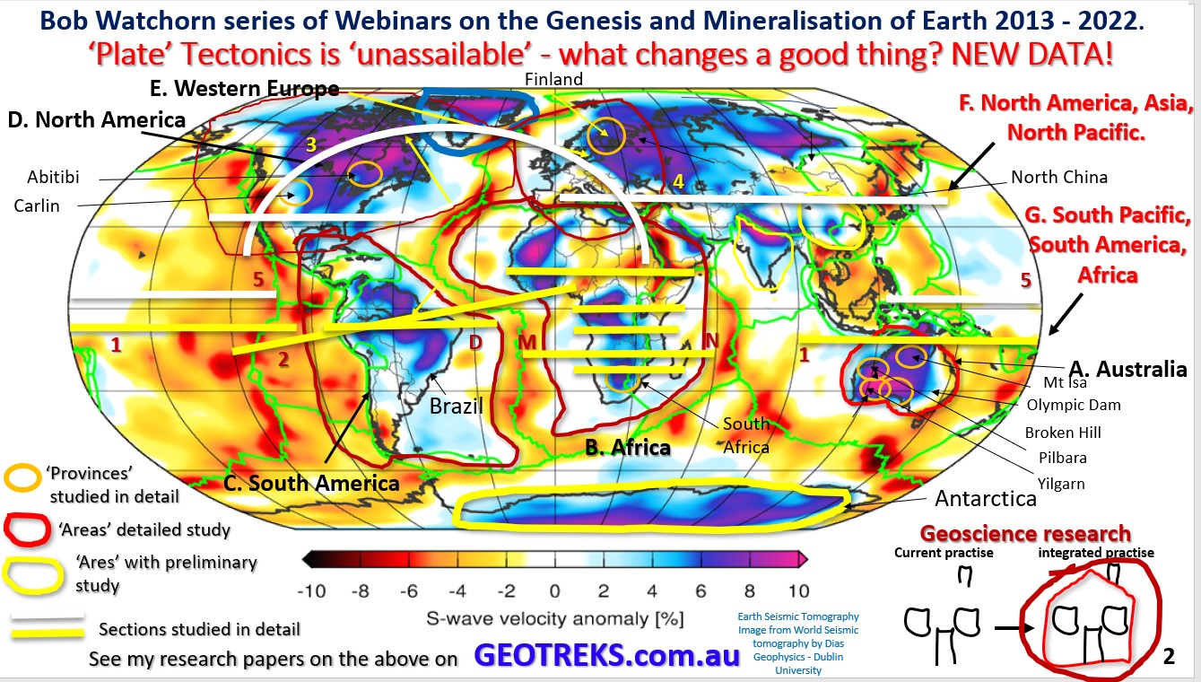
To examine the internal structure of earth we will be looking at two complete circumnavigations of the earth using seismic tomographic sections, one set in the northern hemisphere and another set in the southern hemisphere (white and yellow lines on plan). We will also be looking at seismic tomography plans from near the surface right to the inner core. This is possibly the most comprehensive study of Earth using seismic tomography ever completed.
In the next section we will look at –
Why is this research needed? What is lacking in the current treatment of geophysical data?
Cheers
Bob

