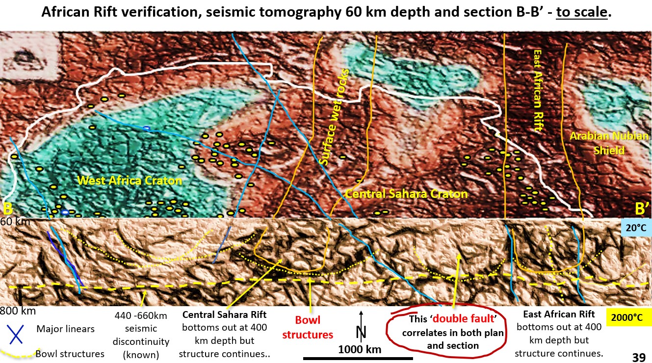
We will now be looking at the African Rift system using seismic tomography plans and sections and closely looking at the structure of the African Rift System which shows verification of the EagleEye structural geology in both plan in section.
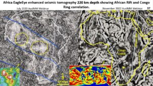
We will now be looking at the African rift geological structure. The figure shows that the data has been obtained from 220 km depth but from two different data sources.
The left-side image is from an Africa-only closer scale seismic tomography and the right-side is from the global seismic tomographic data set, hence the difference in detail.
The African Rift System and the Congo Craton show up in the EagleEye enhancement of both data sources.
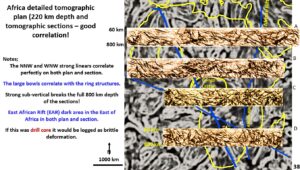
The African Rift system can be clearly seen in the cross-sections right from the Arabian Peninsula to South Africa and right down to the full 800 km depth of the seismic tomography sections. The surface position of the African Rift System correlates well with its known position.
Once again, the sections and the underlying plan are from separate data sources, and were enhanced two years apart, but the structures correlate very well. This is proof that the EagleEye structures are valid both in plan and section.
Another point to note, particularly in the sections, is that the structures are all brittle down to 800 km depth.
The well documented 660 km depth seismic discontinuity can be seen on all the sections further validating EagleEye structural validity.
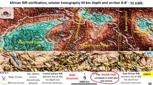
This plan shows the seismic tomography at 60 km depth and section BB’ from the previous figure 38.
On the right-side the East African rift can be clearly seen from the surface right down to 800 km depth.
What I really want to focus on in this section and plan is the ‘double fault’ (red circle) just to the right of the centre. All the faults and African Rift System line up in plan and section. A skeptic might say that this is coincidence.
What would not be coincidence would be a very specific fault in section lining up with another very specific fault in plan. This happens on this figure where the ‘double fault’ correlates both in plan and section. This is further validation of the EagleEye systems ability to obtain structural geology from original fuzzy seismic tomographic images.
Also, the circular structures in plan match with the down warped structures in section suggesting they are bowl shade structures. There are three of these bowl-shaped structures across the section, all about 1000 km across.
My earlier statements that I believe the Extended Late Heavy Bombardment on Earth extended down to 600 km depth is because these bowl structures, that look like huge impact structures, extend down to about 600 km depth and there are very few beneath that depth.
It is interesting that the 660 km depth seismic discontinuity (yellow dashed line) reflects the depth to which the biggest impacts had ‘impact’.
Full depth African Rift System!
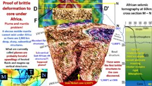
This figure shows the section at DD’ at the top and below that a huge seismic tomographic slice, from the surface down to the Outer Core and extending from the Atlantic to Indian Ocean.
The African Rift System extends with a few dislocations right from the surface to the Outer Core.
There is no evidence of a ‘mobile mantle’ under Africa with many flat and steep brittle structures cutting its supposed location, right from the surface to the core.
The steep radiating structures under Africa on this section suggest that Africa is a ‘pop-up’ structure.
As the subducted material around the Pacific Ocean is melted off by the outer core and overpressurises the outer core. this then puts the whole Earthv in Extension mode. This excess material must find escape to the surface and I suggest this hot area under Africa is one of those escapes.
The dark area under Africa above the iron-nickel Outer Core at 2,900 km depth has been called, in most academic literature, a plume. This plume is supposed to be of similar properties to the lava plume lamps popular 30 years ago. A lava lamp plume should not preserve brittle structures.
Seismic waves do suggest this area is hotter or wetter but it cannot be a plume of similar properties to a lava plume viscously flowing to the surface because it is cut in many directions by flat and steep structures.
I suggest the method of material escape is just by heat and the gradual migration of localised hot fluids and magma from the Outer Core to the surface in an extensional environment.
This process does not destroy the brittle structures so the material may rise by insitu replacement?? Perhaps like gneissic replacement of a sediment where the volume is unaltered but the minerals are completely replaced with the original sedimentary structures and fault lines are preserved?
The next section (12) will examine Earth Evolution and Global Tectonics, EagleEye section assessment of the southern hemisphere.
Cheers
Bob

