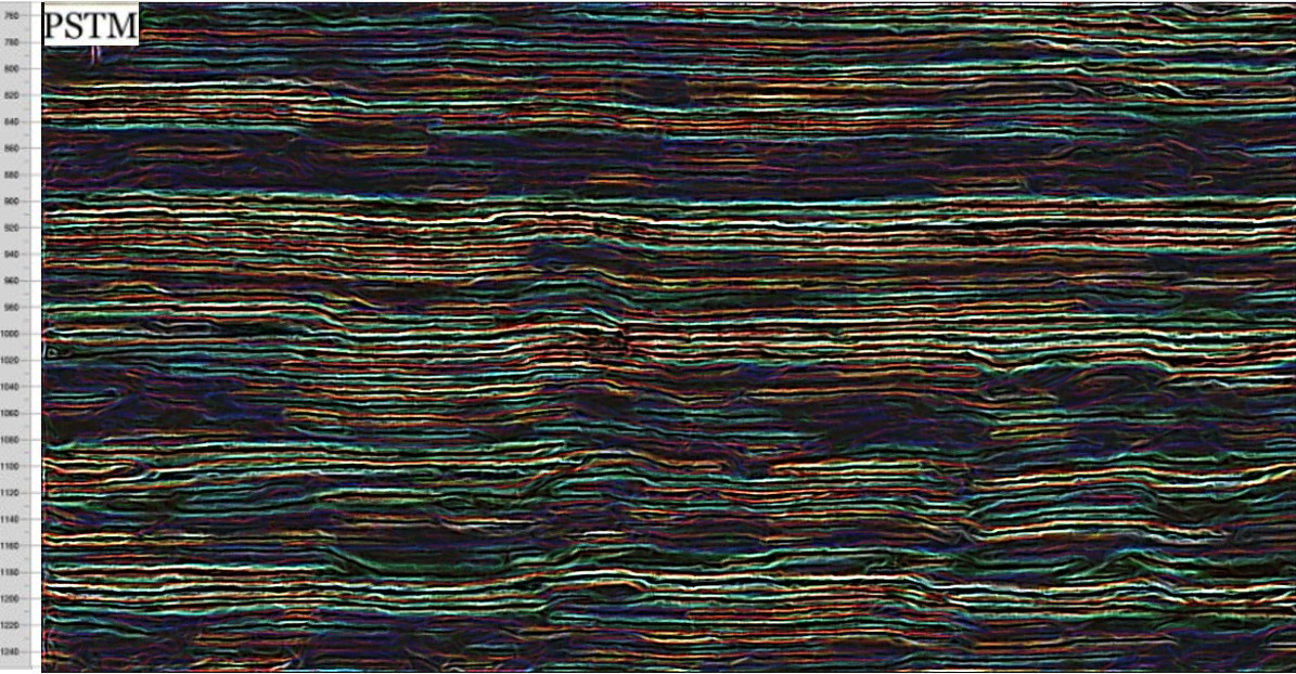
Figure C above. Bob Watchorn EagleEye image edge and domain enhancement processing of a seismic cross section.
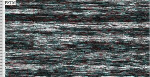
The Seismic cross section image below was posted on a Bill Wepfer LinkedIn post of 02 06 23. https://www.linkedin.com/in/bob-watchorn-97b95624/recent-activity/comments/#
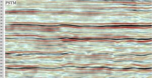
Structures are difficult to see and interpret on this image.
EagleEye was used to define the structures more clearly.
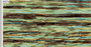
I used my box of EagleEye tricks and came up with a few images which show the background structure of the original image quite clearly. This one was just using a couple of iterations of the structure recognition software and sharpening and contrast functions.
This improves the visibility of structures at the expense of the linear seismic sedimentary traces. They need to be used in conjunction with the original geophysical image.
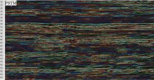
This figure shows the ending, or less reflectance of seismic units, and also shows subvertical structures (slump?) more clearly.
To obtain this enhancement I used an edge sharpening and strong domaining function (like worms) to get the breaks in domains and which also highlights the non stratigraphic, more vertical crosscutting structures.
This image has my ‘lithification’ underhand trick. It makes the image more geologically realistic and this often enables structures (invisible in the very linear seismic images) to stand out.
This is how I treat my geophysical (all) data using EagleEye and so far the structures have proved real. I expect these structures are real also. In fact if you interpret the original image most of the steep structures can be seen. Most geologists can interpret these lithic type images (they look like rocks we interpret all the time) but not the typical seismic image. This has to be very useful as an exploration tool.
I’d love some useful comment from geophysicists??
Cheers
Bob

