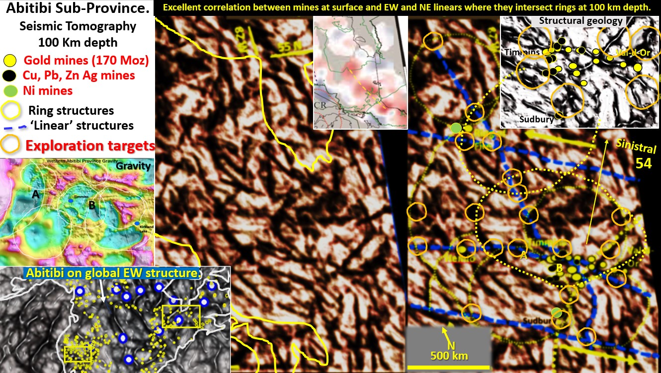
Abitibi and Ring of Fire districts’ seismic tomography at 100 km depth with exploration targeting. (Part 18).
Figure 54 above. Abitibi and Ring of Fire districts’ seismic tomography at 100 km depth with exploration targeting. The Abitibi belt is one of North America’s largest producers of gold, … [Read More]

