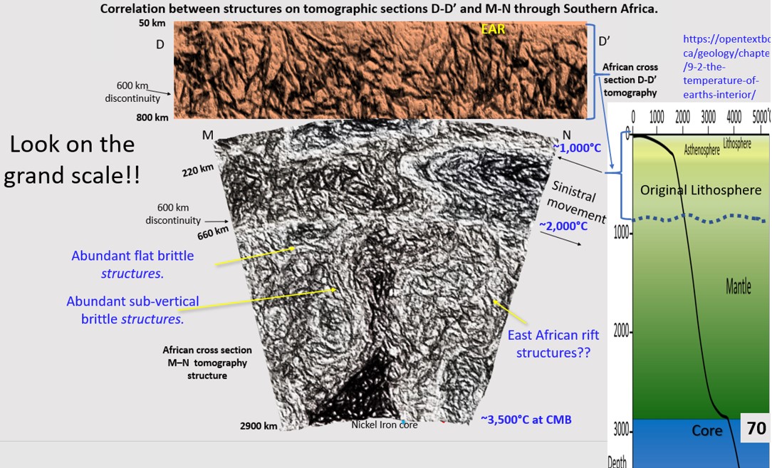
African Continent Evolution research using ultra-detailed Landsat and Seismic Tomography from surface to 2,900 km depth. Implications for Plate Tectonics, continent formation and the genesis (Part 12, seismic tomographic cross sections interpretation from Africa to South America).
This figure shows the datasets used to view the lithosphere under the African continent down to the Core Mantle Boundary at 2900 km. The lithosphere directly under Africa used Yuancheng … [Read More]

