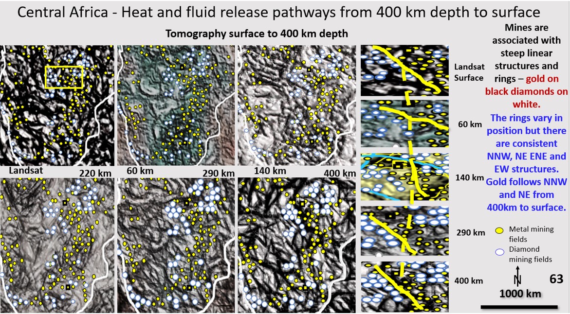
African scavenging and deposition mineralisation pathways from 400 km depth to the current surface. Bob Watchorn Webinar on Africa, Part 10.
The African Webinar can be viewed at https://vimeo.com/464013825/1ed4a0c752 . Start at about 5 minutes to get straight into it. Figure 63 (above). African Landsat and ultra-detailed Seismic Tomography from … [Read More]

