The structural geology of the upper surface of the Inner Core by EagleEye ultra-enhancement of seismic tomography. ©Bob Watchorn
This exercise was done to show that seismic tomographic ultra-enhancement using EagleEye works on any data almost anywhere. I correctly predicted that the main feature of the Inner Core surface would be strong striations and they were!
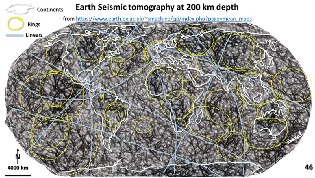
The major WNW, NNW, NNE, EW and NS structures form the same sinistral pattern as those seen on all of the seismic tomography plans from the surface to the Outer Core. This suggests they are intrinsic to the formation of Earth.
They also suggest that the Earth was essentially solid when the Late Heavy Bombardment impacts occurred!
Of great interest are circular corona like doughnuts with the appearance of sunspots. There are also concentric ring structures up to 3,000 km diameter with the morphology of Late Heavy Bombardment impacts! How did they get there and, more importantly, why, and how could they have been preserved?
This has been a most interesting exercise! Being the first to explore an area where no geologic structure has ever been defined is a Captain Cook adventure – a bit daunting, but tremendously exciting and satisfying.


