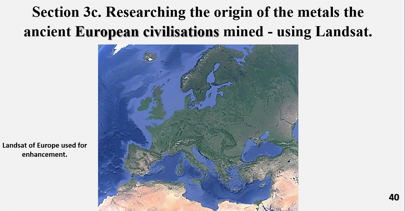
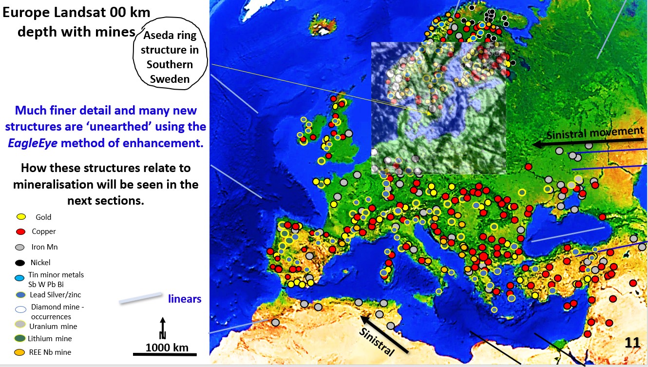
Figure 43a. Europe Landsat showing linears, mines and the Aseda ring.

EagleEye enhancement of the Landsat of Europe and the relationship of henges with copper mining (part 14).

Back to Geoarchaeology! We will look at the detailed EageEye structural geology of Europe and compare the relationship of the structure, henges and mines. First focus will be the southern … [Read More]

Like it? Share it!
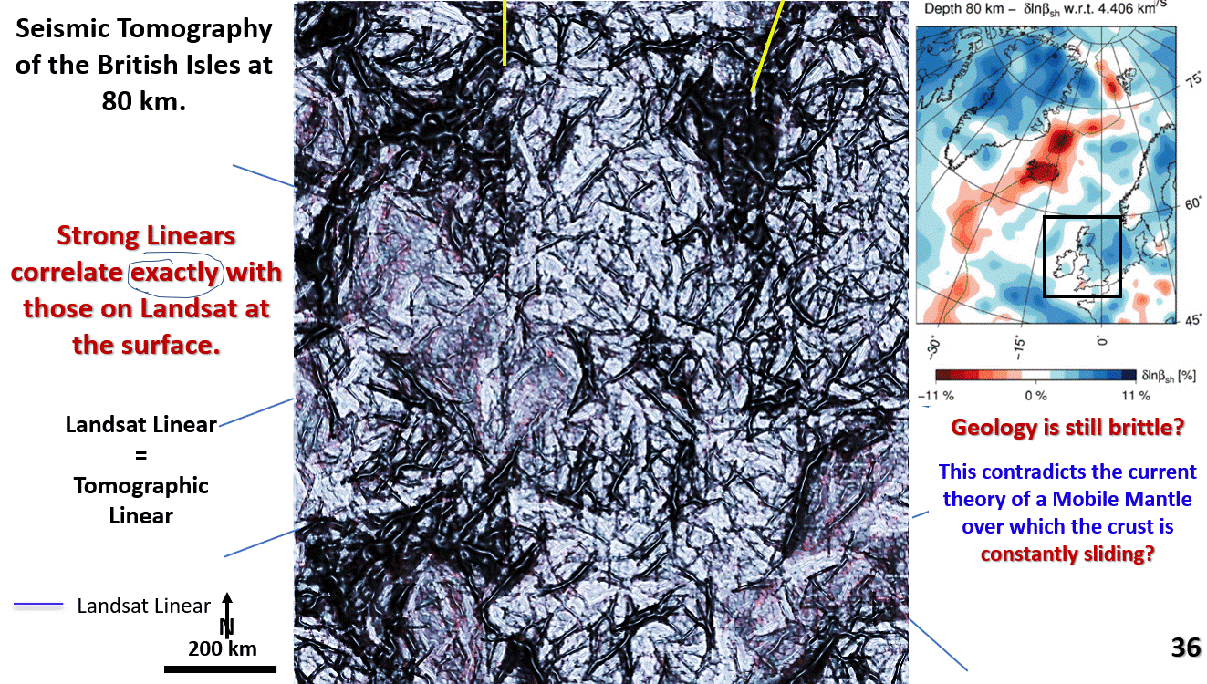
Figure 36. Seismic tomography of the British Isles at 80 km depth, EagleEye ultra-enhanced.

Seismic tomography of the British Isles at 80 km depth. Why is there good correlation of structures at 80 km depth with the surface structures, henges and mines? Part 12.

Seismic tomography of the British Isles at 80 km depth. Why is there good correlation of structures at 80 km depth with surface structures, mines and henges?

Like it? Share it!