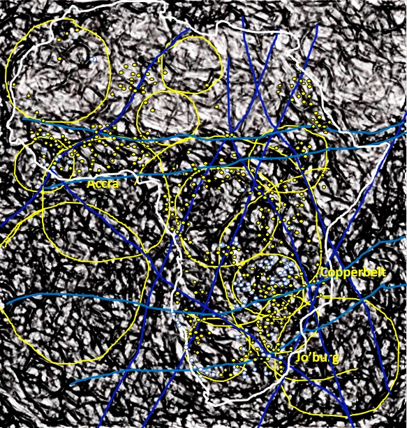
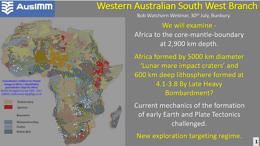
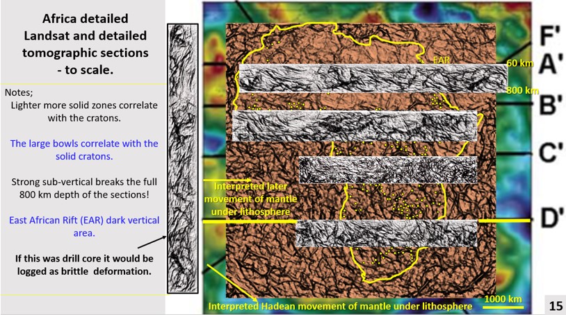
Africa tomographic sections Landsat

Part 3. Landsat plan and tomographic section correlation. African Continent Evolution research using ultra-detailed Landsat and Seismic Tomography from surface to 2,900 km depth. Implications for Plate Tectonics, continent formation and the genesis and targeting of mineralisation. © Bob Watchorn, July 2020

African Continent Evolution research using ultra-detailed Landsat and Seismic Tomography from surface to 2,900 km depth. Landsat plan and tomographic section correlation.

Like it? Share it!
Africa Landsat enhancement

Part 2, Africa Landsat enhancement. African Continent Evolution research using ultra-detailed Landsat and Seismic Tomography from surface to 2,900 km depth. Implications for Plate Tectonics, continent formation and the genesis and targeting of mineralisation. © Bob Watchorn July 2020

Africa Landsat enhancement. African Continent Evolution research using ultra-detailed Landsat and Seismic Tomography from surface to 2,900 km depth. Implications for Plate Tectonics, continent formation and the genesis and targeting of mineralisation

Like it? Share it!
Africa Evolution Exploration

African research using ultra-detailed Landsat and Seismic Tomography from surface to 2,900 km depth. Implications for Plate Tectonics, continent formation and the genesis and targeting of mineralisation. Part 1

1. Introduction African research will be the subject of this next series of 12 posts of the transcript and figures from an AusIMM Webinar on 2nd September 2020 on African … [Read More]

Like it? Share it!