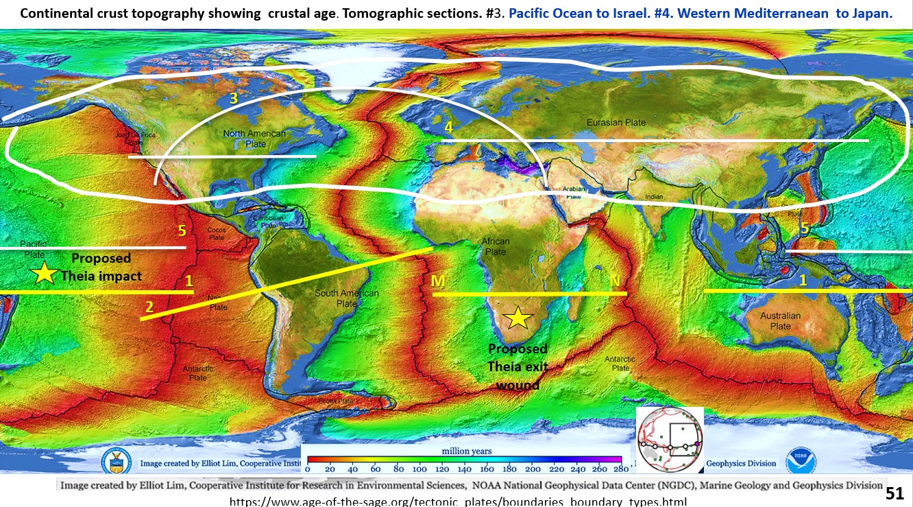
Figure 53. Seismic tomography section through North America, Greenland, Europe to Arabian Peninsular.

Seismic tomography section through North America, Greenland, Europe to Arabian Peninsular (Part 14).

Figure 53. Seismic tomography section through North America, Greenland, Europe to Arabian Peninsular From the crust to the Outer Core. This figure is a section from the Pacific Ocean off … [Read More]

Like it? Share it!
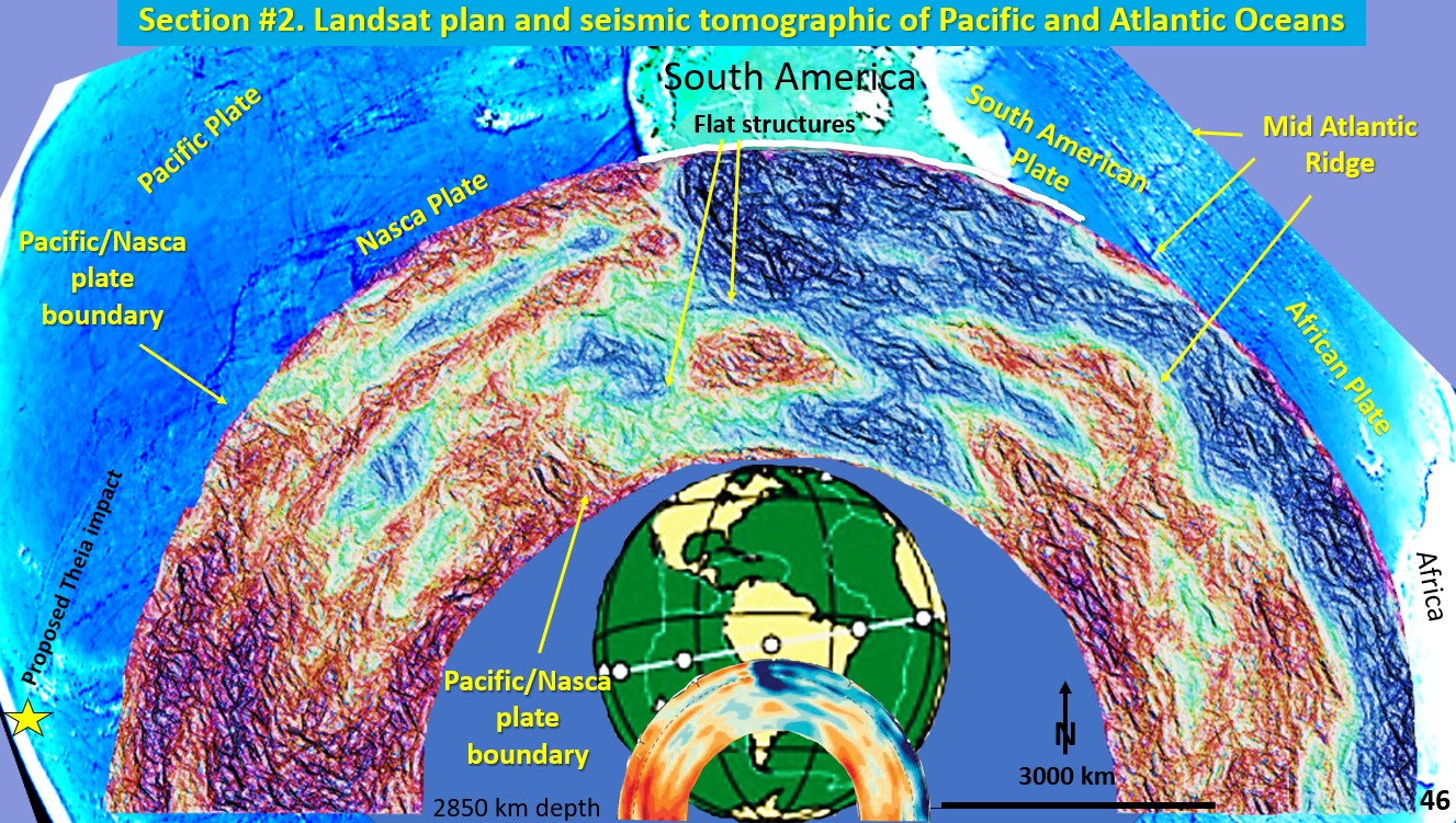
Figure 46. Landsat Plan and seismic tomography section of Pacific Ocean South America and Atlantic Ocean.

Earth Evolution, seismic tomographic from Tonga Trench through to West Africa (Part 13).

Figure 46. Landsat Plan and seismic tomography section of Pacific Ocean South America and Atlantic Ocean. This seismic section extends from the Tonga Trench (yellow star, proposed Theia impact site) … [Read More]

Like it? Share it!