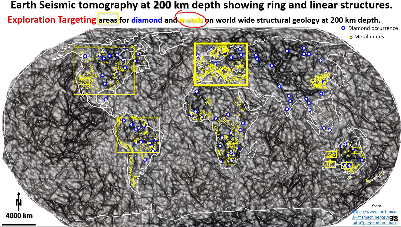
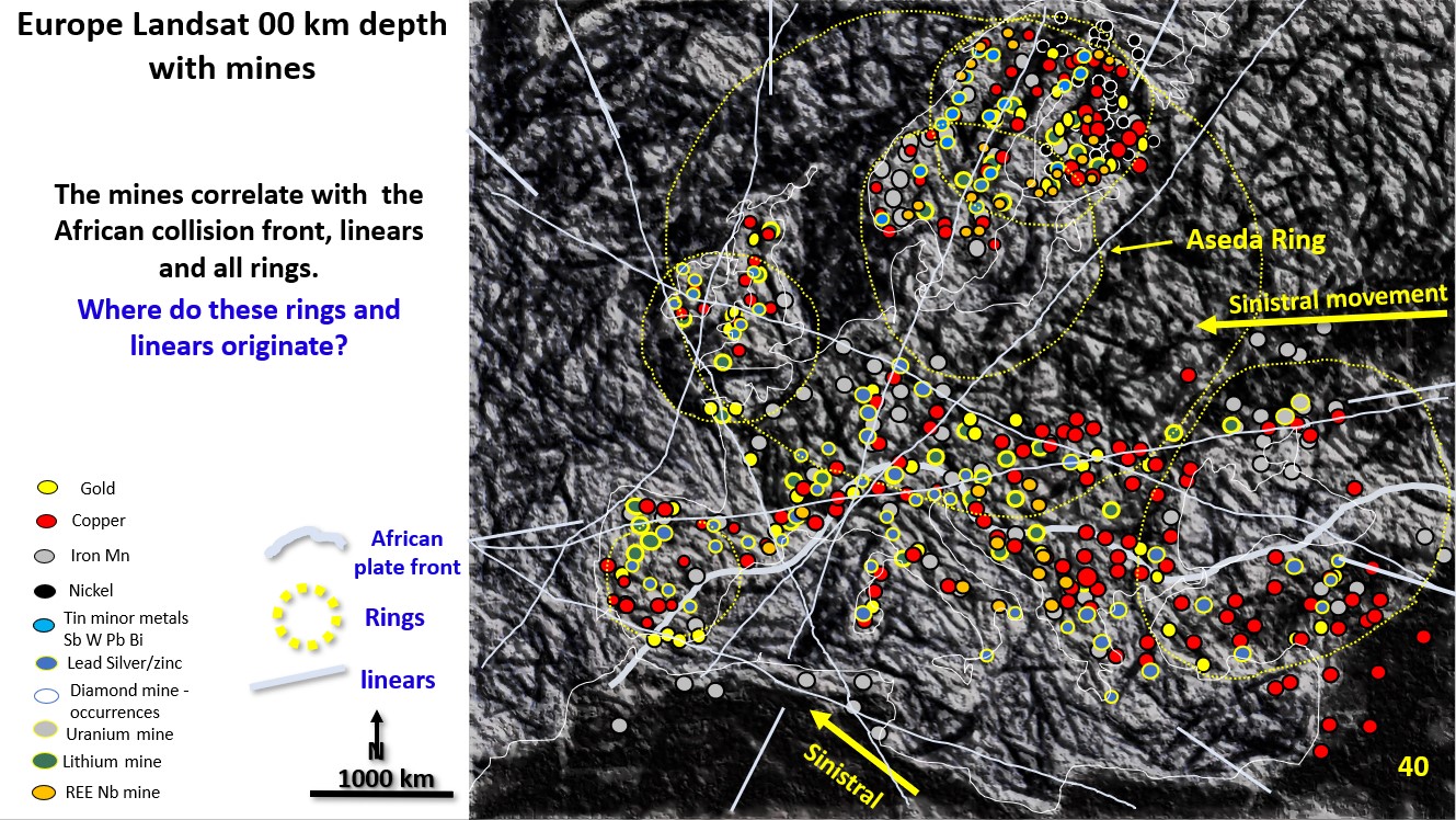
Figure 40. EagleEye enhanced Landsat plan of Europe showing all mines.

European metal mine metallogenetic relationship with the structural geology from EagleEye optimised Landsat Landsat plan. (Part 15).

Figure 40 above. EagleEye enhanced Landsat plan of Europe showing all mines and major linears.  I have never seen a structural geology plan of Europe developed from Landsat. Here is … [Read More]

Like it? Share it!
Figure 37. Gawler Craton mineralisation and targeting. Seismic Tomography -300 Km depth.

12. Gawler Craton mineralisation and exploration targeting using Seismic Tomography at 300 Km depth. (Part 13).

Figure 37. Gawler Craton mineralisation and exploration targeting. Seismic Tomography -300 Km depth. This section looks at exploration targeting in the Gawler Craton, South Australia. Are the controls similar to … [Read More]

Like it? Share it!