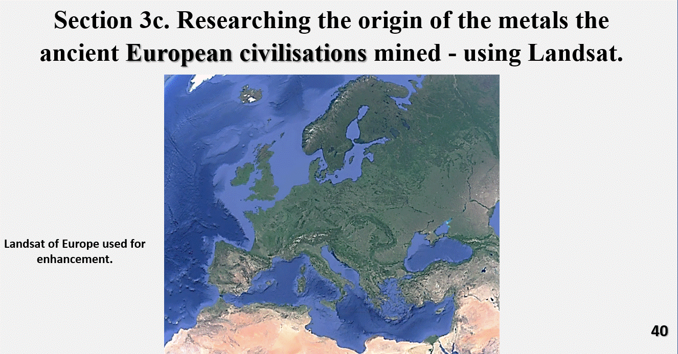
Figure 40. Landsat image of Europe that was used for enhancement using EagleEye.
We will now head across to examine Europe’s surface using Landsat. We will repeat the exercise in Europe that we did for the British Isles and see if the henges and mines follow the surface structural geology.
The above plan is the Landsat plan of Europe used for enhancement by EagleEye. The henges and mines will be plotted onto this plan.

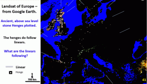
This figure shows the ancient henges above sea level. It can be seen that they follow linear structures right across Europe and the British Isles (thin lines around edge of image show linears).
It is observed that the henges follow the arcs and linears just as they did in the Britain Isles. In fact the linear directions right across Europe mirrors those seen in the British Isles.
Remember, the builders of the henges would not have known that they were building them in a linear pattern!

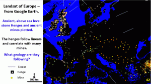
The mines are plotted onto the plan with the henges. In the British Isles there was a good correlation between the mines and major henges. This also is the case in Europe. Mines are located close to henges.
Both henges and mines form in linear arrangement all over Europe.
This is much more than co-incidence and suggests an active building of the first advanced civilisation’s major buildings near copper mines.
Hence my assertion that copper mining was largely responsible for the sudden explosion of civilisation about 8 – 10,000 BCE.
Cheers
Bob

