Back to Geoarchaeology!
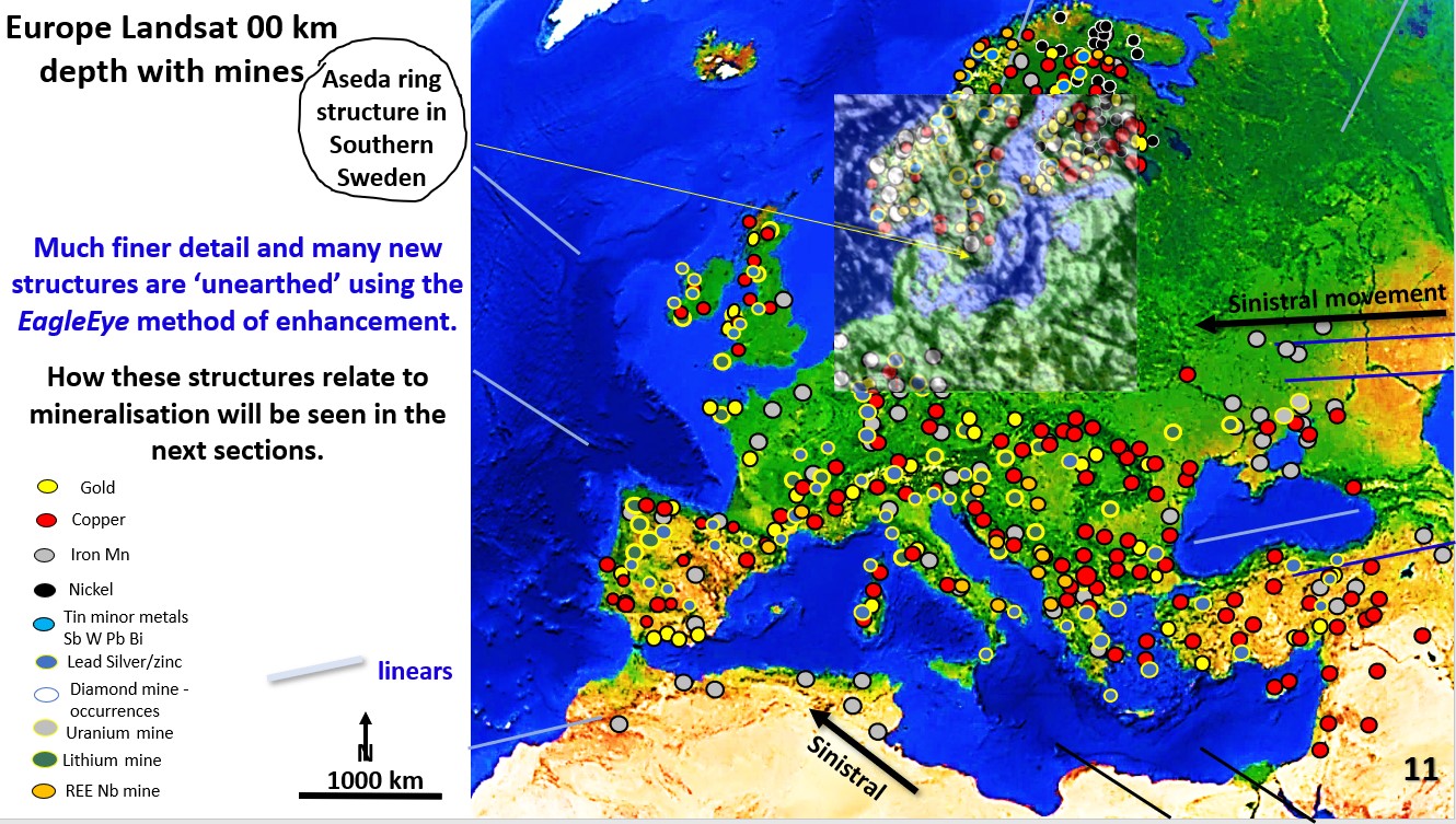
We will look at the detailed EageEye structural geology of Europe and compare the relationship of the structure, henges and mines.
First focus will be the southern tip of Sweden where what I have called the Aseda Ring, from the EagleEye enhanced structural geology image, has been overlaid on the Landsat plan.
The 1,500 km diameter Aseda Ring is a concentric ring structure with the morphology of an impact structure. Outer rings can be seen out to 4,000 km diameter.
It is the clearest ‘suggested’ impact structure I’ve seen in Europe. Any geophysicist or geologist wanting to make their name as an impact discoverer couldn’t do better than to do their diagnostic geophysical and shock metamorphism research in the Aseda area!! It would be interesting to know the age of the rocks the impact has disturbed?
If the mines and henges follow the major structural geology linears on which copper mineralisation occurs then it would show a clear-cut case that the henges followed the pre-existing rich surface outcroppings of copper right across Europe.
This would then suggest that copper mining was the reason for the earliest large henges and thus kickstarted advanced civilisation.
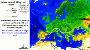
This figure is a slightly enhanced Landsat plan of Europe and North Africa.
The structural geology is not seen in this ‘geographical’ plan but will be made clearer using the EagleEye structural enhancement method.
Problem? Europe is a strongly tectonic area. However, even in this lightly enhanced Landsat image of Europe strong EW, NE and NW linears are observed.
The light blue line shows the Africa-Europe collision zone which is seen in the Caucasian, Alps and Pyrenees ranges across southern Europe. Why are these linears, thousands of kilometres long, seen right across Europe. There should not be linears across European geology! They are definitely not related to the current African and Europe collision regime which started 40 million years ago!
As Shakespeare said 400 years ago ‘something smells in the state of Denmark’.
What are the linears related to? They are definitely not related to what is happening at the surface.
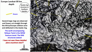
This is the EagleEye ultra-enhancement of Europe. The yellow arrow points to the centre of the Aseda Ring in southern Sweden.
This is a 1,500 km diameter concentric ring structure.
How did this form in the middle of tectonically active Europe?
This Aseda ring structure is showing up right at the surface. If ever I was going to look for evidence of a impact structure this would be one place that I would be focusing on to find prima facie evidence of an impact structure.
Aseda Ring is earlier than the ENE linears as these are deflected through the centre of the ring structure. These show sinistral movement, as is seen in the majority of the large earth structures.
The earth encompassing Tethyn Spiral is the WNW fracture trend. These linears extend right across the image from Israel right through to Iceland.
The African Europe collision structure is 40 million years old and yet the WNW structures travels through this area without deflection.
How is this possible?
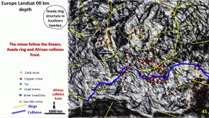
The coastline of Europe and the British Isles are outlined in white. The yellow circles and lines represent the ring structures and the major linears.
The mines have been put onto this enhanced image and it is observed, as in the British Isles, that the mines follow the dark areas which are the tectonically active areas.
The mines follow the NNE trend running from southern France through to the Baltic Sea.
These NNE trending linears are the ones that we have been seeing in North and South America and in the global seismic tomography image of earth at 200 km depth.
They circle the Earth from the Arctic regions above Europe down to Fiji and the Antarctic region in the southern Pacific Ocean.
There is also a strong, more erratic, trend of mineralisation on the WNW linear, particularly just above the blue line of the African collision front.
There is a strong correlation of mines, in particular silver lead zinc mines, along the African Europe collision front.
Overall, the position of the mines correlates extremely well with the surface structural features from the EagleEye Landsat image.
Do the henges follow the linears, rings and mines?? We will examine that next post!
Cheers
Bob

