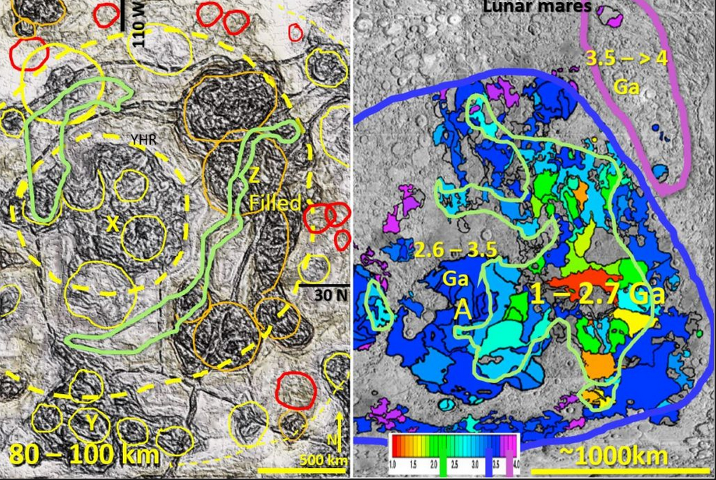
Figure 4. North China interpreted tomography at 90 km comparison with Lunar mares geochronology

Video links for all Bob Watchorn AusIMM webinars with brief description of research discoveries.

Figure 4 above is an image of North China interpreted tomography at 90 km depth and a comparison with Lunar Mares geography and geochronology (same scale). The link below gives … [Read More]

Like it? Share it!
Kalgoorlie Woodline project images number 2. Bob Watchorn Nov 2021

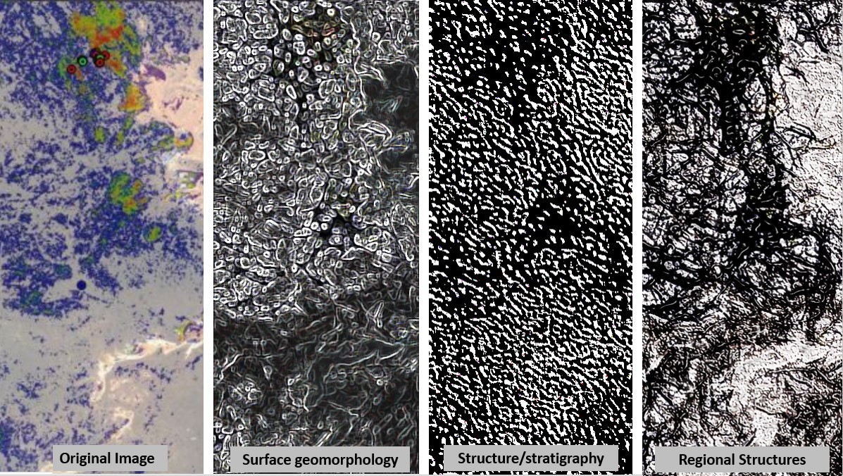
EagleEye Structural evaluation of the Kalgoorlie, Woodline Project, part 2 – geomorphology, stratigraphy and regional structures defined..

These EagleEye method enhanced images show the power and versatility of the EagleEye method in getting excellent structural geology from unfocused geophysical images. They are fantastic exploration targeting tools.

Like it? Share it!