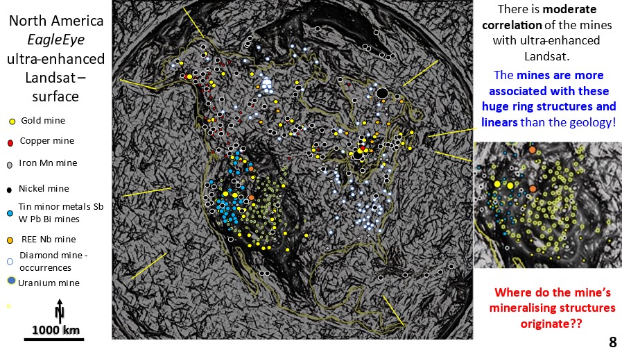
Figure 8. North America Landsat ultra-enhanced image showing large rings and their relationship to mining fields.

North America AusIMM Webinar. Part 2. Landsat EagleEye ultra-detailed research of structural geology correlation with mineralisation.

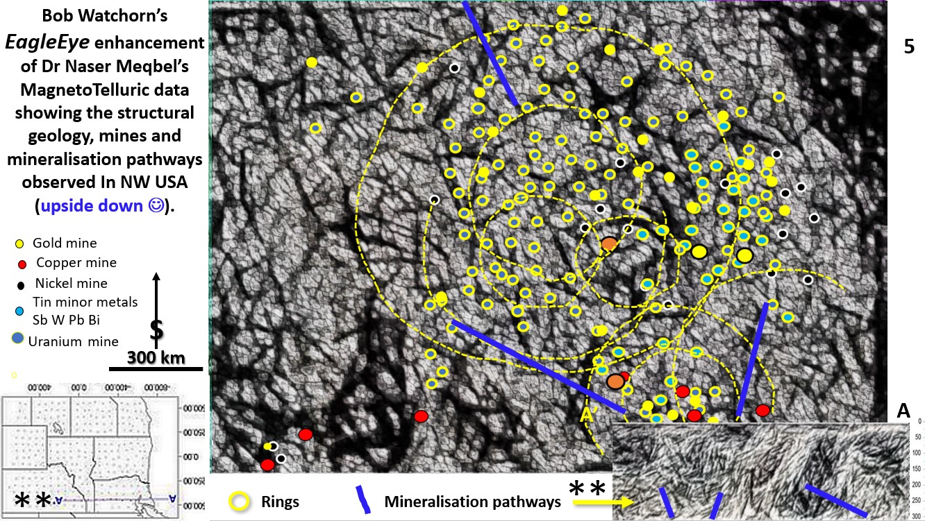
North America. Landsat EagleEye ultra detailed research of structural geology correlation with mineralisation. The mines are plotted onto the Landsat image. Find out, in this series of posts, how to do exploration targeting from the continental scale right down to the mine scale – all from continental scale original data!

Like it? Share it!
Figure 1. Introduction slide to webinar outlining the new paradigms discovered by my research.

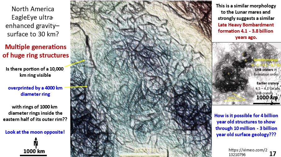
North American geological research using ultra-detailed Landsat, Topography, Magnetics, Gravity and Seismic Tomography from surface to 2,900 km depth. Implications for Plate Tectonics, continent formation, mineralisation genesis and targeting.

North American geological research using ultra-detailed Landsat, Topography, Magnetics, Gravity and Seismic Tomography from surface to 2,900 km depth. Implications for Plate Tectonics, continent formation, mineralisation genesis and targeting.

Like it? Share it!